Geoscience Australia stories
Authorities could miss dangerous slope hazards on steep routes unless aerial checks become routine, Civil Geotechnical Consultants says.
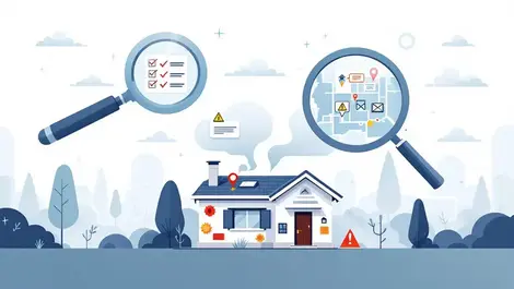
Buyers are demanding more certainty over planning, renovation and hidden site risks as softer prices revive fears of overpaying.
Leidos Australia will manage ICT services for Geoscience Australia, supporting its digital transformation and delivery of vital Earth science data.
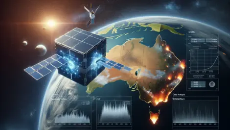
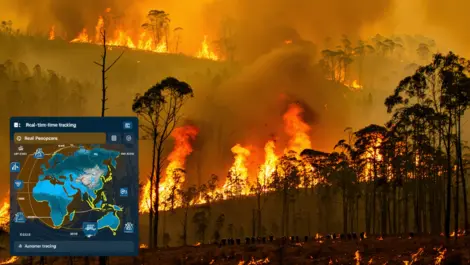
Australian scientists have developed AI-equipped cube satellites that can detect bushfires 500 times faster than traditional methods, promising quicker response and potentially saving lives and properties.
Inmarsat partners with Geoscience Australia for research project to enhance navigation accuracy using multiple satellite systems.
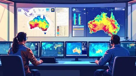
DAS has launched a tool for near real-time bushfire monitoring, helping organisations quickly identify affected customers and properties during disasters.
Safety gains for autonomous and connected cars are on offer as Australia trials satellite-based positioning across the road industry.